The brief
This research was developed from three months of on-the-ground work across San Martín de los Andes, Junín de los Andes and the surrounding Patagonian lake district. The goal was not to describe Patagonia as a postcard, but to map a usable documentary territory: landscapes, institutions, story leads, cultural contexts, access questions and visual references.
Visual route
The strongest documentary route begins with San Martín de los Andes and Lake Lácar as the visual gateway, follows Route 40 through the Seven Lakes corridor, opens toward Lanín National Park and Chapelco, and then moves into Junín de los Andes, rivers, rural life and verified cultural contexts.
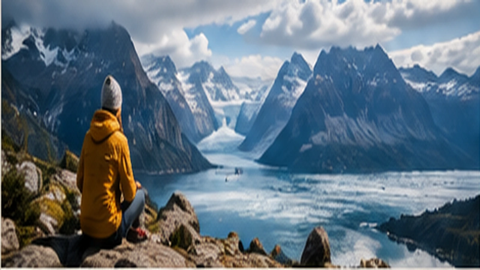
Visual references from the portfolio case. Final documentary use would require source-by-source clearance, licensing checks or original filming.
Episode spine
A documentary could be structured as a route rather than a list of places: each location changes the question being asked.
Research layers
The investigation treated visual beauty as only one layer. Each location was evaluated for narrative purpose, access, sensitivity, filming potential and the kind of verification a production team would need before shooting.
- Landscape and travel sequence: lakes, roads, viewpoints, volcano, ski centre, rivers.
- Human story leads: rural families, local institutions, cultural workers, possible contributors and casting routes.
- Cultural context: Mapuche history and contemporary community contexts, handled as a verified layer rather than decorative folklore.
- Production access: municipal, cultural, tourism and educational relationships that could support filming, casting, screenings or local coordination.
- Risk flags: sensitive territory, minors, private land, cultural permission, unverified claims and footage licensing.
Coverage matrix
The brief separated what is visually strong from what is narratively strong. That distinction matters: some places are easy to film but thin as story; others require careful access but can carry the film.
Footage leads
For development, the research also identifies where a team can look for existing visual references before deciding what must be filmed originally. These links are not presented as cleared assets; they are research leads for tone, framing, route planning and later rights checks.
Research outputs
The working material was organised so a creative team could move from a broad idea of Patagonia into concrete editorial and production decisions.
What this demonstrates
This project sits at the intersection of creative research, cultural intelligence and production research: understanding a place deeply enough to identify which stories, people and environments are meaningful, and then translating that knowledge into something a documentary team can actually use.
Research is not only finding information. In field-based creative work, it also means building context, recognising nuance, earning access, organising evidence, knowing which lead is worth following and knowing what should remain private.